Start exploring
Maps & GPS Coordinates
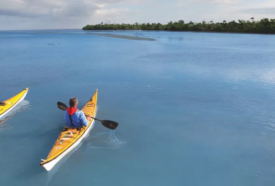
Inspired by the indigenous Calusa, the Great Calusa Blueway encompasses three distinct regions of the Gulf of Mexico coast. The first portion of the trail meanders through Estero Bay, while the second segment centers on Pine Island and Matlacha Pass. A third leg of the trail takes paddlers inland to the Caloosahatchee and its tributaries.
Phase 1 Trail Map
This map shows all three regions, but covers only Estero Bay in detail.
Phase 2 Trail Map
This map shows all three regions, but covers only Pine Island and Matlacha Pass in detail.
Phase 3 Trail Map
This Map shows all three regions, but details only the Caloosahatchee River and its tributaries.
Great Calusa Blueway App
Download the app for iPhone HERE.

